Utilising LiDAR in conservation – mapping the maze of trails in KFBG’s Orchid Haven
Dating back as early as the 6th century BC, the traditional craft of map making has allowed humans to navigate. Fast forward to the 21st Century and, along with many other advancements in technology, cartography has evolved from cave paintings and etchings on tablets or animal hide to surveillance aircrafts and satellite imagery.
The challenge
Situated in a remote mountainous area between Tai Po and Yuen Long, Kadoorie Farm and Botanic Garden is one of the few places in Hong Kong that struggles with receiving a stable cellphone signal! This is both a blessing and a curse. We are gifted with this perfect location to nurture inner peace and allow the sounds of nature to prevail, but at the same time we face a big technical hurdle in mapping our walking trails in areas that lack network coverage. To add to the challenge, even in areas that do have cellular reception, the dense canopy of our forested slopes can cause interference with the broadcasting of satellite signals, thereby inducing errors in mapping and location services that rely on GPS. All of this makes accurate mapping of fine-scale features in certain areas an incredibly challenging task.
The solution
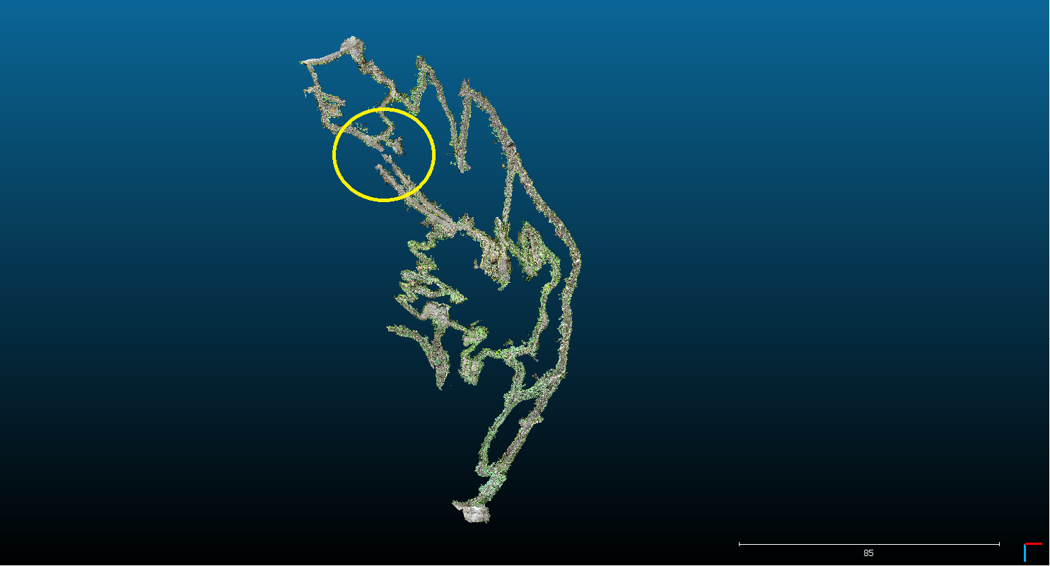
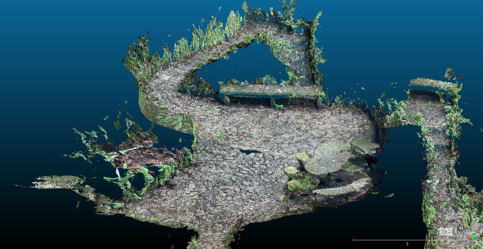
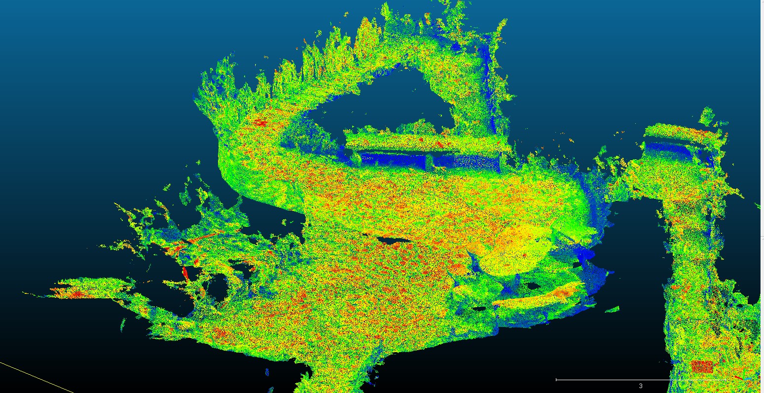
Thanks to advances in new technology, LiDAR (Light Detection And Ranging) is now available on iPhone (12 Pro and 13 Pro series) via a 3D scanning app. This technology measures the time lag of reflected light bouncing of targets to calculate distance and position. Recently, KFBG’s very own GIS and spatial statistics expert Mang Lung Cheuk has been applying this technology to map the winding maze of trails and hidden corners in Orchid Haven with higher accuracy. The accuracy of a single mapping exercise undertaken in this way could be down to a single centimeter, but, having said that, error can still accumulate. So, when scanning trails, Mang has to repeat each section several times to assess the degree of deviation and apply a correction through manual adjustment.
Mapping step-by-step
If you would like to try it out yourself, please follow the instructions below:
Download the 3d Scanner App -> repeatedly scan the area -> export data to Cloudcompare -> manual alignment -> export to ArcGIS -> overlay with the current data -> DONE!
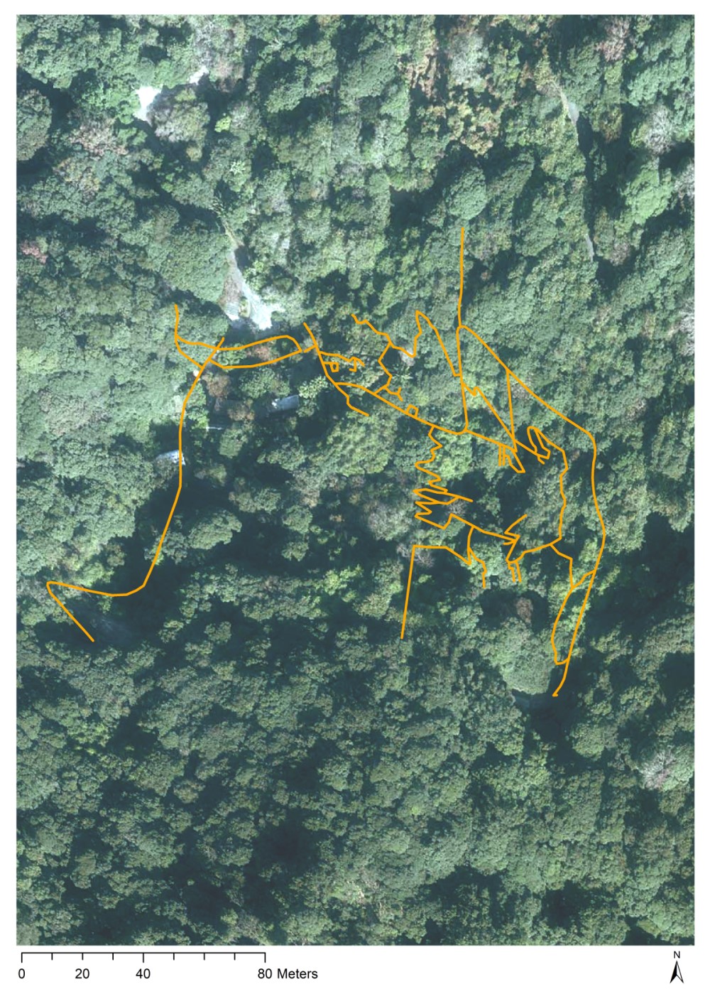
Incorporating the technological input from LiDAR, GIS and 3D software, our product here is a complete map of the maze of trails in Orchid Haven.
Other applications
This technology not only helps with the mapping of trails at KFBG, it also supports our work in many other surprising ways, from monitoring potential safety hazards to locating plants in our garden. This effective tool is readily available to the general public, thereby making maps much more user-friendly and interactive.
Click here to see our Story Map!